nbcams.ca
There are currently 110 public highway and outdoor web cameras that are located throughout New Brunswick, Canada on this site.
Click on any image to refresh.
Note: some images update as infrequently as once per hour.
Also, view cameras in Prince Edward Island at peicams.ca

Public Mobile Offer


Web Cam image of Waweig (NB Highway 1)
Waweig (NB Highway 1) Approximate location of web cam in Google Maps Google Street View of camera's view Reload image
© Gateway Operations
Web Cam image of Flume Ridge (NB Highway 3)
Flume Ridge (NB Highway 3) Approximate location of web cam in Google Maps Google Street View of camera's view Reload image
© NB Transportation and Infrastructure
Web Cam image of Thomaston Corner (NB Highway 3)
Thomaston Corner (NB Highway 3) Approximate location of web cam in Google Maps Google Street View of camera's view Reload image
© NB Transportation and Infrastructure
Web Cam image of Thomaston Corner (NB Highway 4)
Thomaston Corner (NB Highway 4) Approximate location of web cam in Google Maps Google Street View of camera's view Reload image
© NB Transportation and Infrastructure
Web Cam image of Pennfield Ridge (NB Highway 175)
Pennfield Ridge (NB Highway 175) Approximate location of web cam in Google Maps Google Street View of camera's view Reload image
© NB Transportation and Infrastructure
Web Cam image of Lepreau / New River (NB Highway 1)
Lepreau / New River (NB Highway 1) Approximate location of web cam in Google Maps Google Street View of camera's view Reload image
© Gateway Operations
Web Cam image of Saint John (NB Highway 1)
Saint John (NB Highway 1) Approximate location of web cam in Google Maps Google Street View of camera's view Reload image
© Gateway Operations
Web Cam image of Rothesay (NB Highway 1)
Rothesay (NB Highway 1) Approximate location of web cam in Google Maps Google Street View of camera's view Reload image
© Gateway Operations
Web Cam image of Moosehorn Creek (NB Highway 1)
Moosehorn Creek (NB Highway 1) Approximate location of web cam in Google Maps Google Street View of camera's view Reload image
© Gateway Operations
Web Cam image of Penobsquis (NB Highway 1)
Penobsquis (NB Highway 1) Approximate location of web cam in Google Maps Google Street View of camera's view Reload image
© Gateway Operations
Web Cam image of Grand Bay-Westfield (NB Highway 7)
Grand Bay-Westfield (NB Highway 7) Approximate location of web cam in Google Maps Google Street View of camera's view Reload image
© NB Transportation and Infrastructure
Web Cam image of Grand Bay-Westfield (NB Highway 7)
Grand Bay-Westfield (NB Highway 7) Approximate location of web cam in Google Maps Google Street View of camera's view Reload image
© NB Transportation and Infrastructure
Web Cam image of Welsford (Eagle Rock Road)
Welsford (Eagle Rock Road) Approximate location of web cam in Google Maps Google Street View of camera's view Reload image
© NB Transportation and Infrastructure
Web Cam image of Welsford (NB Highway 7)
Welsford (NB Highway 7) Approximate location of web cam in Google Maps Google Street View of camera's view Reload image
© NB Transportation and Infrastructure
Web Cam image of Camp Petersville (NB Highway 7)
Camp Petersville (NB Highway 7) Approximate location of web cam in Google Maps Google Street View of camera's view Reload image
© NB Transportation and Infrastructure
Web Cam image of Saint John (NB Highway  1)
Saint John (NB Highway 1) Approximate location of web cam in Google Maps Google Street View of camera's view Reload image
© wetmore.ca
Web Cam image of Saint John (NB Highway  1)
Saint John (NB Highway 1) Approximate location of web cam in Google Maps Google Street View of camera's view Reload image
© wetmore.ca
Web Cam image of Saint John (NB  Highway 1)
Saint John (NB Highway 1) Approximate location of web cam in Google Maps Google Street View of camera's view Reload image
© wetmore.ca
Web Cam image of Saint John (Centre)
Saint John (Centre) Approximate location of web cam in Google Maps Reload image
© Canadian Broadcasting Corporation
Web Cam image of Saint John (Loyalist Plaza)
Saint John (Loyalist Plaza) Approximate location of web cam in Google Maps Reload image
© City of Saint John
Web Cam image of Saint John (King's Square)
Saint John (King's Square) Approximate location of web cam in Google Maps Reload image
© City of Saint John
Web Cam image of Saint John (South End)
Saint John (South End) Approximate location of web cam in Google Maps Reload image
© City of Saint John
Web Cam image of Saint John (Millidgeville)
Saint John (Millidgeville) Approximate location of web cam in Google Maps Reload image
© Biron Engineering Ltd
Web Cam image of Saint John (East)
Saint John (East) Approximate location of web cam in Google Maps Reload image
© Park Place Apartments
Web Cam image of Quispamsis - Arts & Culture Park
Quispamsis - Arts & Culture Park Approximate location of web cam in Google Maps Reload image
© Town of Quispamsis
Web Cam image of Quispamsis - Skate Park
Quispamsis - Skate Park Approximate location of web cam in Google Maps Reload image
© Town of Quispamsis
Web Cam image of Quispamsis (Gondola Point)
Quispamsis (Gondola Point) Approximate location of web cam in Google Maps Google Street View of camera's view Reload image
© NB Transportation and Infrastructure
Web Cam image of Reeds Point
Reeds Point Approximate location of web cam in Google Maps Google Street View of camera's view Reload image
© NB Transportation and Infrastructure
Web Cam image of Hampton
Hampton Approximate location of web cam in Google Maps Reload image
© Town of Hampton
Web Cam image of Rothesay (Common)
Rothesay (Common) Approximate location of web cam in Google Maps Google Street View of camera's view Reload image
© Town of Rothesay
Web Cam image of Grand Bay-Westfield (Brundage Point River Centre)
Grand Bay-Westfield (Brundage Point River Centre) Approximate location of web cam in Google Maps Reload image
© Town Of Grand Bay-Westfield
Web Cam image of Grand Bay-Westfield
Grand Bay-Westfield Approximate location of web cam in Google Maps Google Street View of camera's view Reload image
© NB Transportation and Infrastructure
Web Cam image of Hardings Point
Hardings Point Approximate location of web cam in Google Maps Google Street View of camera's view Reload image
© NB Transportation and Infrastructure
Web Cam image of Fredericton (City Hall)
Fredericton (City Hall) Approximate location of web cam in Google Maps Google Street View of camera's view Reload image
© City of Fredericton
Web Cam image of Fredericton (Westmorland Street - North Side)
Fredericton (Westmorland Street - North Side) Approximate location of web cam in Google Maps Google Street View of camera's view Reload image
© City of Fredericton
Web Cam image of Fredericton (Westmorland Street - South Side)
Fredericton (Westmorland Street - South Side) Approximate location of web cam in Google Maps Google Street View of camera's view Reload image
© City of Fredericton
Web Cam image of Fredericton (St. John River)
Fredericton (St. John River) Approximate location of web cam in Google Maps Google Street View of camera's view Reload image
© City of Fredericton
Web Cam image of Fredericton (Officers' Square)
Fredericton (Officers' Square) Approximate location of web cam in Google Maps Google Street View of camera's view Reload image
© City of Fredericton
Web Cam image of Upper Salmon Creek (NB Highway 10)
Upper Salmon Creek (NB Highway 10) Approximate location of web cam in Google Maps Google Street View of camera's view Reload image
© NB Transportation and Infrastructure
Web Cam image of Grub Road (NB Highway 10)
Grub Road (NB Highway 10) Reload image
© NB Transportation and Infrastructure


Web Cam image of Boiestown (Miramichi River)
Boiestown (Miramichi River) Approximate location of web cam in Google Maps Reload image
© Bullocks Lodge
Web Cam image of Mont Farlagne (NB Highway 2)
Mont Farlagne (NB Highway 2) Approximate location of web cam in Google Maps Google Street View of camera's view Reload image
© Brun-Way Highway Operations
Web Cam image of Quisibis Hill (NB Highway 2)
Quisibis Hill (NB Highway 2) Approximate location of web cam in Google Maps Google Street View of camera's view Reload image
© Brun-Way Highway Operations
Web Cam image of Grand Falls (NB Highway 2)
Grand Falls (NB Highway 2) Approximate location of web cam in Google Maps Google Street View of camera's view Reload image
© Brun-Way Highway Operations
Web Cam image of Aroostook River (NB Highway 2)
Aroostook River (NB Highway 2) Approximate location of web cam in Google Maps Google Street View of camera's view Reload image
© Brun-Way Highway Operations
Web Cam image of Bairdsville (NB Highway 2)
Bairdsville (NB Highway 2) Approximate location of web cam in Google Maps Google Street View of camera's view Reload image
© Brun-Way Highway Operations
Web Cam image of NB Highway 95 / 540
NB Highway 95 / 540 Approximate location of web cam in Google Maps Google Street View of camera's view Reload image
© Brun-Way Highway Operations
Web Cam image of Meductic (NB Highway 2)
Meductic (NB Highway 2) Approximate location of web cam in Google Maps Google Street View of camera's view Reload image
© Brun-Way Highway Operations
Web Cam image of Prince William (NB Highway 2)
Prince William (NB Highway 2) Approximate location of web cam in Google Maps Google Street View of camera's view Reload image
© Brun-Way Highway Operations
Web Cam image of Longs Creek (NB Highway 2)
Longs Creek (NB Highway 2) Approximate location of web cam in Google Maps Google Street View of camera's view Reload image
© MRDC Operations Corporation
Web Cam image of Mill Cove (NB Highway 2)
Mill Cove (NB Highway 2) Approximate location of web cam in Google Maps Google Street View of camera's view Reload image
© MRDC Operations Corporation
Web Cam image of Moncton (NB Highway 2)
Moncton (NB Highway 2) Approximate location of web cam in Google Maps Google Street View of camera's view Reload image
© MRDC Operations Corporation
Web Cam image of Dieppe/Moncton (NB Highway 2)
Dieppe/Moncton (NB Highway 2) Approximate location of web cam in Google Maps Reload image
© NB Transportation and Infrastructure
Web Cam image of Dieppe/Moncton (NB Highway 2)
Dieppe/Moncton (NB Highway 2) Approximate location of web cam in Google Maps Reload image
© NB Transportation and Infrastructure
Web Cam image of Memramcook (NB Highway 2)
Memramcook (NB Highway 2) Reload image
© NB Transportation and Infrastructure
Web Cam image of Sackville (NB Highway 2)
Sackville (NB Highway 2) Reload image
© NB Transportation and Infrastructure
Web Cam image of Moncton (Main Street West)
Moncton (Main Street West) Approximate location of web cam in Google Maps Google Street View of camera's view Reload image
© City of Moncton
Web Cam image of Moncton (Main Street East)
Moncton (Main Street East) Approximate location of web cam in Google Maps Google Street View of camera's view Reload image
© City of Moncton
Web Cam image of Moncton (Avenir Centre)
Moncton (Avenir Centre) Approximate location of web cam in Google Maps Reload image
© City of Moncton
Web Cam image of Moncton (Bore Park)
Moncton (Bore Park) Approximate location of web cam in Google Maps Google Street View of camera's view Reload image
© City of Moncton
Web Cam image of Moncton (Gunningsville Bridge)
Moncton (Gunningsville Bridge) Approximate location of web cam in Google Maps Google Street View of camera's view Reload image
© City of Moncton
Web Cam image of Central Hainesville (Crabbe Mountain)
Central Hainesville (Crabbe Mountain) Approximate location of web cam in Google Maps Reload image
© Crabbe Mountain
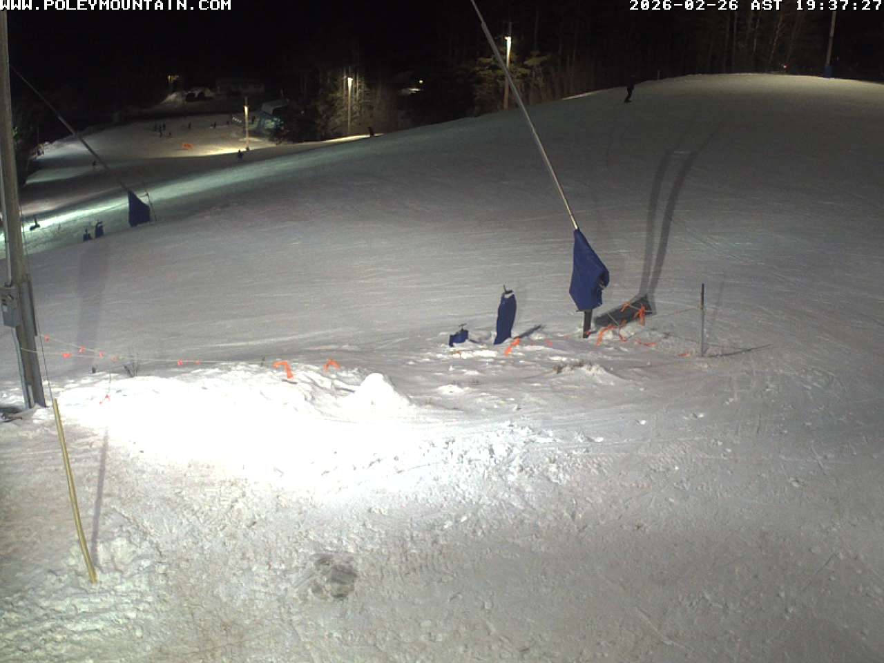
Web Cam image of Sussex (Poley Mountain)
Sussex (Poley Mountain) Approximate location of web cam in Google Maps Reload image
© Poley Mountain
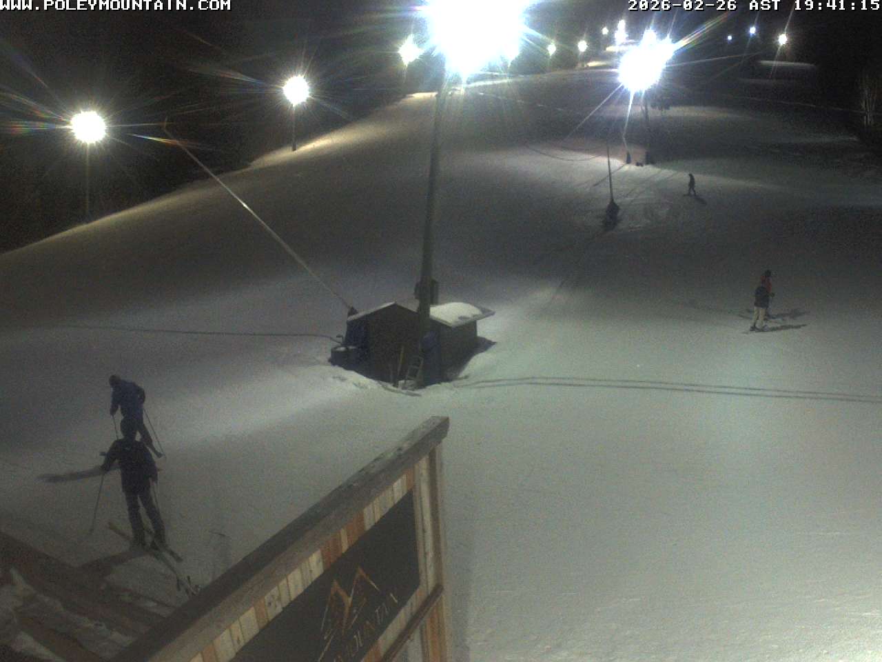
Web Cam image of Sussex (Poley Mountain)
Sussex (Poley Mountain) Approximate location of web cam in Google Maps Reload image
© Poley Mountain
Web Cam image of Edmundston (Mont Farlagne)
Edmundston (Mont Farlagne) Approximate location of web cam in Google Maps Reload image
© Mont Farlagne


Web Cam image of Fredericton Airport (East)
Fredericton Airport (East) Approximate location of web cam in Google Maps Reload image
© NAV Canada
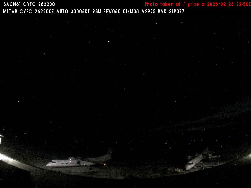
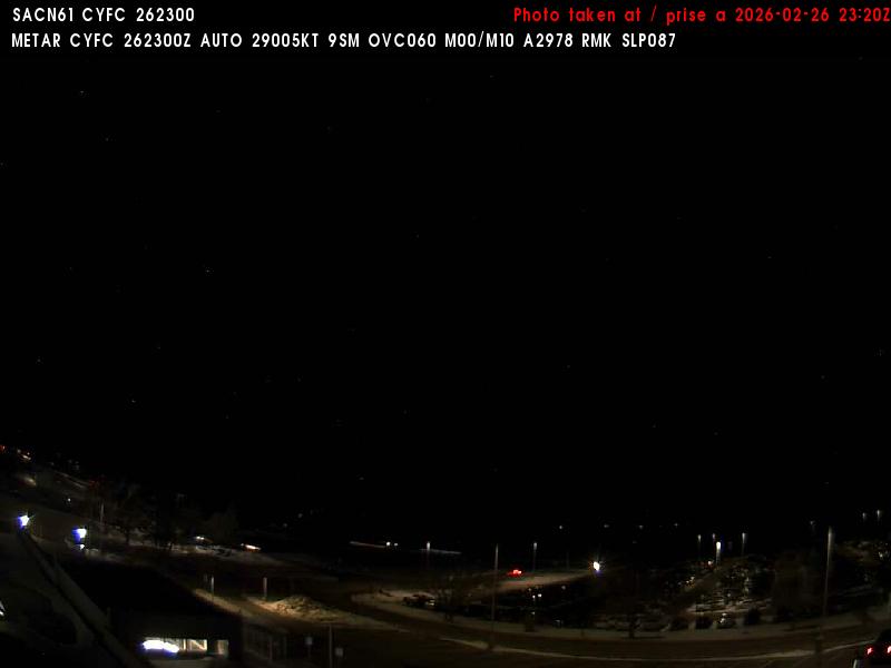
Web Cam image of Fredericton Airport (South West)
Fredericton Airport (South West) Approximate location of web cam in Google Maps Reload image
© NAV Canada
Web Cam image of Fredericton Airport (West)
Fredericton Airport (West) Approximate location of web cam in Google Maps Reload image
© NAV Canada
Web Cam image of Fredericton Airport (North)
Fredericton Airport (North) Approximate location of web cam in Google Maps Reload image
© NAV Canada
Web Cam image of St. Stephen Airport (South)
St. Stephen Airport (South) Approximate location of web cam in Google Maps Reload image
© NAV Canada
Web Cam image of St. Stephen Airport (West)
St. Stephen Airport (West) Approximate location of web cam in Google Maps Reload image
© NAV Canada
Web Cam image of Miramichi Airport (East)
Miramichi Airport (East) Approximate location of web cam in Google Maps Reload image
© NAV Canada
Web Cam image of Miramichi Airport (South)
Miramichi Airport (South) Approximate location of web cam in Google Maps Reload image
© NAV Canada
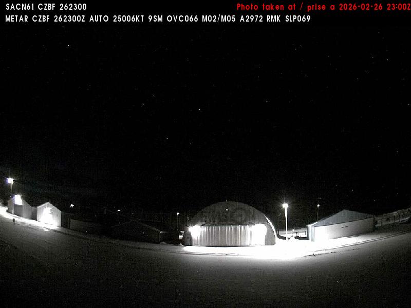
Web Cam image of Bathurst Airport (North)
Bathurst Airport (North) Approximate location of web cam in Google Maps Google Street View of camera's view Reload image
© NAV Canada
Web Cam image of Bathurst Airport (East)
Bathurst Airport (East) Approximate location of web cam in Google Maps Google Street View of camera's view Reload image
© NAV Canada
Web Cam image of Bathurst Airport (South)
Bathurst Airport (South) Approximate location of web cam in Google Maps Google Street View of camera's view Reload image
© NAV Canada
Web Cam image of Bathurst Airport (West)
Bathurst Airport (West) Approximate location of web cam in Google Maps Google Street View of camera's view Reload image
© NAV Canada
Web Cam image of Charlo Airport (North West)
Charlo Airport (North West) Approximate location of web cam in Google Maps Reload image
© NAV Canada
Web Cam image of Charlo Airport (North)
Charlo Airport (North) Approximate location of web cam in Google Maps Reload image
© NAV Canada
Web Cam image of Charlo Airport (East)
Charlo Airport (East) Approximate location of web cam in Google Maps Reload image
© NAV Canada
Web Cam image of Veneer (NB Highway 17)
Veneer (NB Highway 17) Approximate location of web cam in Google Maps Google Street View of camera's view Reload image
© NB Transportation and Infrastructure
Web Cam image of Veneer (NB Highway 17)
Veneer (NB Highway 17) Approximate location of web cam in Google Maps Google Street View of camera's view Reload image
© NB Transportation and Infrastructure
Web Cam image of St-Martin-de-Restigouche (NB Highway 17)
St-Martin-de-Restigouche (NB Highway 17) Approximate location of web cam in Google Maps Google Street View of camera's view Reload image
© NB Transportation and Infrastructure
Web Cam image of Glenwood (NB Highway 17)
Glenwood (NB Highway 17) Approximate location of web cam in Google Maps Google Street View of camera's view Reload image
© NB Transportation and Infrastructure
Web Cam image of Blackland (NB Highway 11)
Blackland (NB Highway 11) Approximate location of web cam in Google Maps Google Street View of camera's view Reload image
© NB Transportation and Infrastructure
Web Cam image of Blackland (NB Highway 11)
Blackland (NB Highway 11) Approximate location of web cam in Google Maps Reload image
© NB Transportation and Infrastructure
Web Cam image of Bathurst (NB Highway 11)
Bathurst (NB Highway 11) Approximate location of web cam in Google Maps Google Street View of camera's view Reload image
© NB Transportation and Infrastructure
Web Cam image of Bathurst (NB Highway 11)
Bathurst (NB Highway 11) Approximate location of web cam in Google Maps Google Street View of camera's view Reload image
© NB Transportation and Infrastructure
Web Cam image of Stonehaven (NB Highway 11)
Stonehaven (NB Highway 11) Approximate location of web cam in Google Maps Google Street View of camera's view Reload image
© NB Transportation and Infrastructure
Web Cam image of Caraquet (NB Highway 11)
Caraquet (NB Highway 11) Approximate location of web cam in Google Maps Reload image
© NB Transportation and Infrastructure
Web Cam image of Shippagan (NB Highway 113)
Shippagan (NB Highway 113) Approximate location of web cam in Google Maps Google Street View of camera's view Reload image
© NB Transportation and Infrastructure
Web Cam image of Shippagan (NB Highway 113)
Shippagan (NB Highway 113) Approximate location of web cam in Google Maps Google Street View of camera's view Reload image
© NB Transportation and Infrastructure
Web Cam image of Tracadie-Sheila (NB Highway 11)
Tracadie-Sheila (NB Highway 11) Approximate location of web cam in Google Maps Google Street View of camera's view Reload image
© NB Transportation and Infrastructure
Web Cam image of Lavillette (NB Highway 8)
Lavillette (NB Highway 8) Approximate location of web cam in Google Maps Google Street View of camera's view Reload image
© NB Transportation and Infrastructure
Web Cam image of Lavillette (NB Highway 8)
Lavillette (NB Highway 8) Approximate location of web cam in Google Maps Google Street View of camera's view Reload image
© NB Transportation and Infrastructure
Web Cam image of Miramichi (NB Highway 11)
Miramichi (NB Highway 11) Approximate location of web cam in Google Maps Google Street View of camera's view Reload image
© NB Transportation and Infrastructure
Web Cam image of St. Margarets (NB Highway 11)
St. Margarets (NB Highway 11) Approximate location of web cam in Google Maps Google Street View of camera's view Reload image
© NB Transportation and Infrastructure
Web Cam image of Bouctouche (NB Highway 11)
Bouctouche (NB Highway 11) Approximate location of web cam in Google Maps Google Street View of camera's view Reload image
© NB Transportation and Infrastructure
Web Cam image of Shediac Bridge (NB Highway 11)
Shediac Bridge (NB Highway 11) Approximate location of web cam in Google Maps Google Street View of camera's view Reload image
© NB Transportation and Infrastructure
Web Cam image of Shediac (NB Highway 11)
Shediac (NB Highway 11) Approximate location of web cam in Google Maps Google Street View of camera's view Reload image
© NB Transportation and Infrastructure
Web Cam image of Shediac (NB Highway 11)
Shediac (NB Highway 11) Approximate location of web cam in Google Maps Google Street View of camera's view Reload image
© NB Transportation and Infrastructure
Web Cam image of Cap-Pelé (NB Highway 15)
Cap-Pelé (NB Highway 15) Approximate location of web cam in Google Maps Google Street View of camera's view Reload image
© NB Transportation and Infrastructure
Web Cam image of Upper Cape Road (NB Highway 16)
Upper Cape Road (NB Highway 16) Approximate location of web cam in Google Maps Google Street View of camera's view Reload image
© NB Transportation and Infrastructure
Web Cam image of Upper Cape Road (NB Highway 16)
Upper Cape Road (NB Highway 16) Approximate location of web cam in Google Maps Google Street View of camera's view Reload image
© NB Transportation and Infrastructure
Web Cam image of Copp Loop Road (NB Highway 16)
Copp Loop Road (NB Highway 16) Approximate location of web cam in Google Maps Google Street View of camera's view Reload image
© NB Transportation and Infrastructure
Web Cam image of Durham Bridge (NB Highway 148)
Durham Bridge (NB Highway 148) Approximate location of web cam in Google Maps Google Street View of camera's view Reload image
© NB Transportation and Infrastructure
Web Cam image of South Portage (NB Highway 8)
South Portage (NB Highway 8) Approximate location of web cam in Google Maps Reload image
© NB Transportation and Infrastructure
Web Cam image of McGivney (NB Highway 8)
McGivney (NB Highway 8) Approximate location of web cam in Google Maps Google Street View of camera's view Reload image
© NB Transportation and Infrastructure
Web Cam image of New Bandon (NB Highway 8)
New Bandon (NB Highway 8) Approximate location of web cam in Google Maps Google Street View of camera's view Reload image
© NB Transportation and Infrastructure
Web Cam image of Blackville (NB Highway 8)
Blackville (NB Highway 8) Approximate location of web cam in Google Maps Google Street View of camera's view Reload image
© NB Transportation and Infrastructure


© 2024 nbcams.ca Contact